
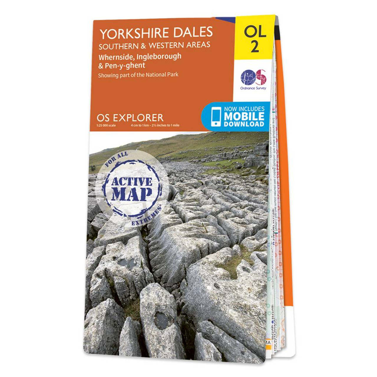
The OS Explorer map of Yorkshire Dales Southern & Western area including Whernside Ingleborough & Pen-y-ghent.Whether you’re looking to take on all three peaks or just looking for a hike through the South-West of the dales this map is a must-have.With Explorer OL2 you can easily take on the Yorkshire Three Peaks circular route. The total walking distance is 24.5 miles (39.2km) and you can start at Horton-in-Ribblesdales Ribblehead or Chapel le Dale with the circular route finishing at the point you begin.Our OS Explorer maps are perfect for day-tripping extensive hikes and cycling. They come in both standard and Weatherproof Active so you’ll never get caught out in a storm. Standard Publication Date: 05/09/2016 Weatherproof Publication Date: 05/09/2016
£16.99


