
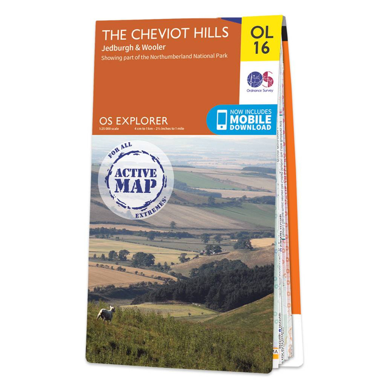
The OS Explorer map of the Cheviot Hills including Jedburgh and Wooler.Map sheet OL16 is a must-have when visiting the area. This map covers Jedburgh Wooler Alwinton Harbottle and of course the Cheviot Hills — a range of uplands between English-Scottish border with the English section falling in Northumberland National park.Other places of interest on this map are The Cheviot Catscleugh Reservoir the River Coquet the top corner of Kielder Forest Park Linhope Scarthy Holes Crink Law Bell Hill.Our OS Explorer maps are perfect for day-tripping extensive hikes and cycling. They come in both standard and Weatherproof Active so you’ll never get caught out in a storm. This map also comes with a free digital download so you can access it across your devices — making for a more convenient companion. Standard Publication Date: 14/06/2023 Weatherproof Publication Date: 22/09/2023
£16.99


