
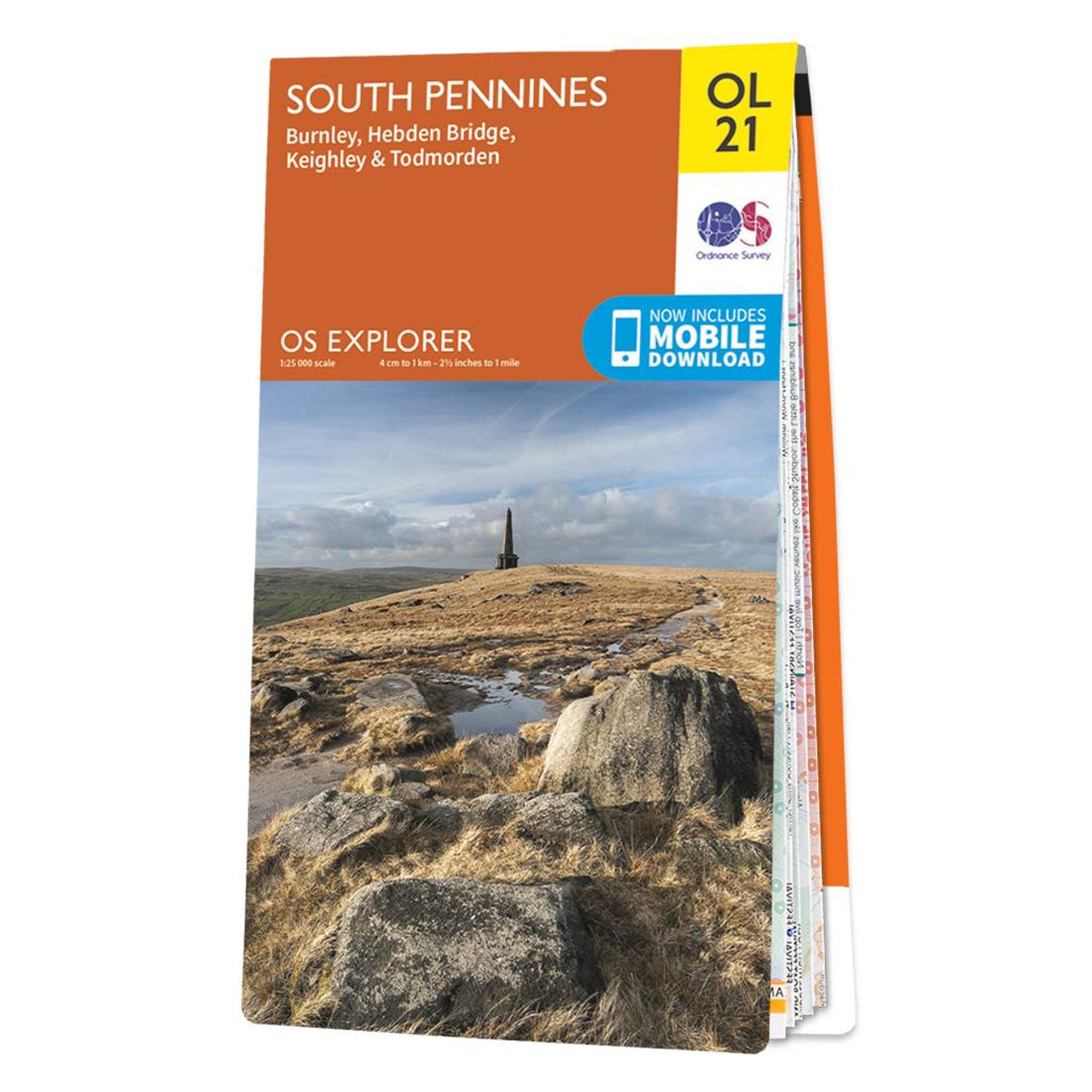
The OS Explorer map of South Pennines including Burnley Hebden Bridge Keighley and Todmorden.OL21 a must-have when visiting this wuthering landscape. A picturesque place as if pulled from a fairytale; steep valleys heather covered moorlands canals and packhorse trails. Truly a breathtaking and aspiring area.Some of the highlights on this map include Pennine way and Calderdale Way — the highest peak is Lad Law at 517m.Our Explorer maps are perfect for day-tripping extensive hikes and cycling they come in both standard and Weatherproof Active so you’ll never get caught out in a storm. Standard Publication Date: 10/06/2015 Weatherproof Publication Date: 10/06/2015
£12.99


