
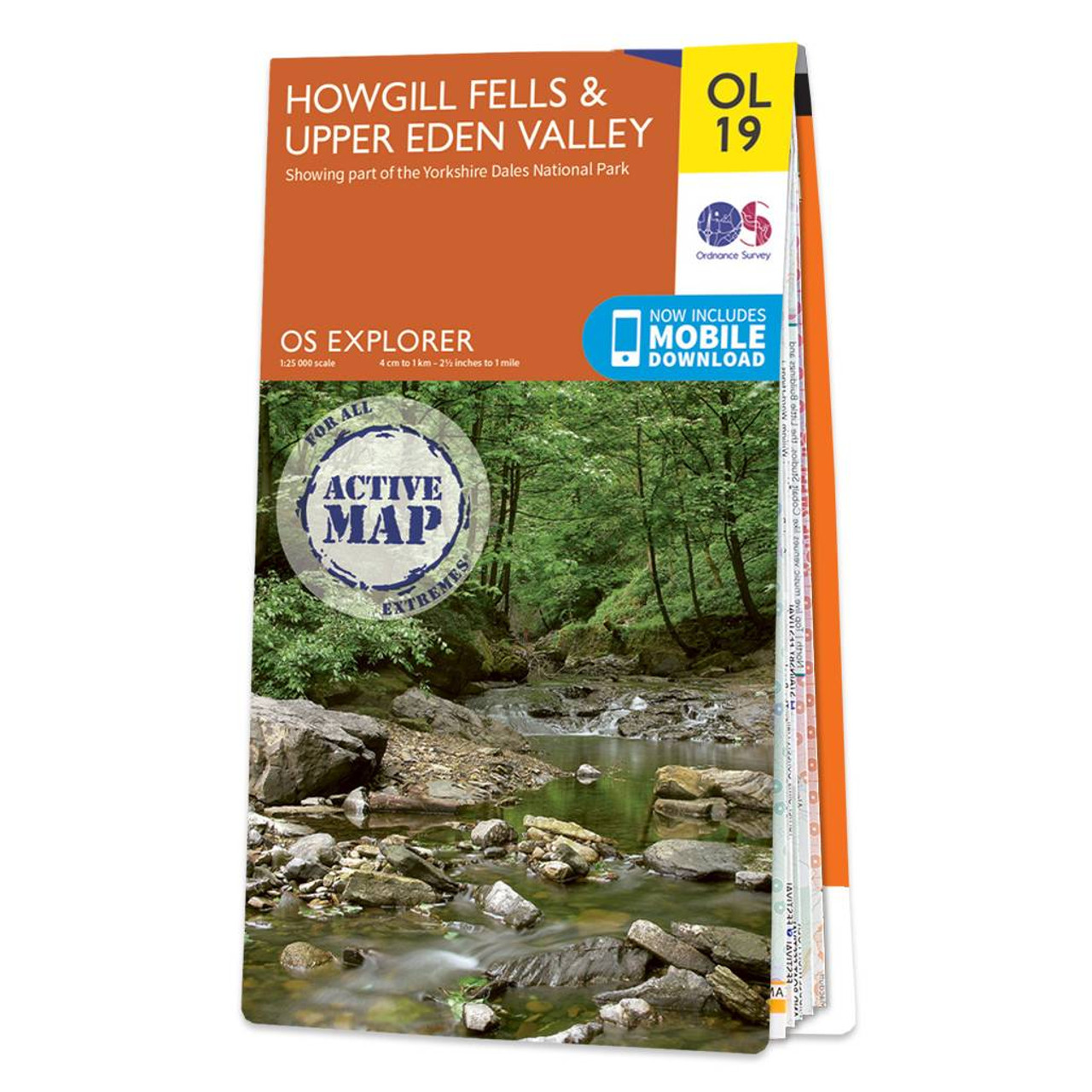
Map Sheet OL19 in the Explorer Series covers Appleby-in—Westmorland Sedbergh Kirkby Stephen and of course Howgill Fells and Upper Eden Valley.It is everything you need for exploring this beautiful area of barrow like hills situated between the Lake District and the Yorkshire Dales. The Howgill Fells contain two Marilyns and five Hewitts plenty of distance to cover for any keen hikers.Our Explorer maps are perfect for day-tripping extensive hikes and cycling they come in both standard and Weatherproof Active so you’ll never get caught out in a storm. This map also comes with a free digital download so you can access it across your devices making for a convenient companion. Standard Publication Date: 02/12/2016 Weatherproof Publication Date: 19/12/2016
£16.99


