
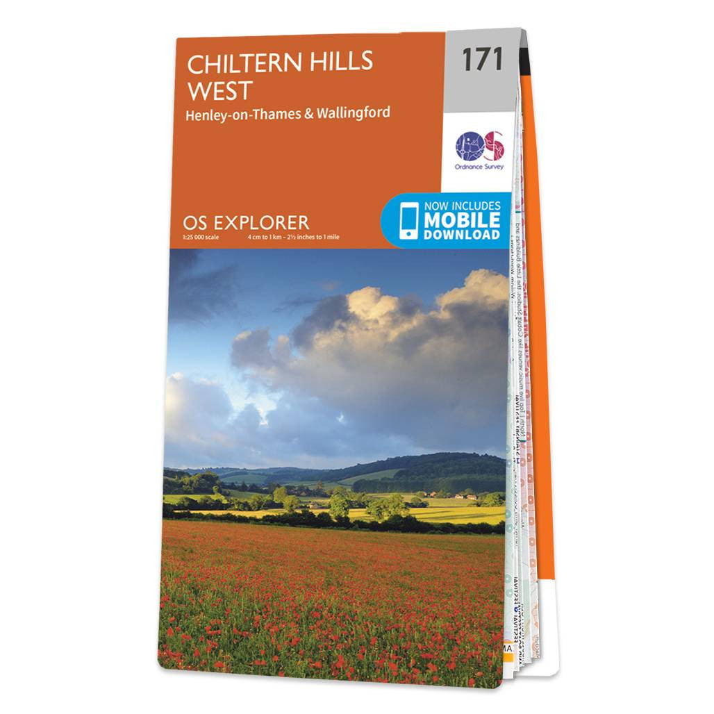
The OS Explorer map of Chiltern Hills West including Henley-on-Thames and Wallingford is a must-have when visiting the Chiltern Hills or ‘The Chilterns’ as they are referred to locally.Given the title of AONB in 1965 the Chiltern Hills are a quintessential piece of British countryside. So much to see and do crammed into one map some notable highlights include: Henley-on-Thames Wallingford Purley-on-Thames Watlington Caversham the Chilterns and North Wessex Downs the Chiltern Way Thames Path River Thames and a section of the Ridgeway.Our OS Explorer maps are perfect for day-tripping extensive hikes and cycling. They come in both standard and Weatherproof Active so you’ll never get caught out in a storm. Format: Folded map Physical Size: 952 x 1270 mm (133 x 240 mm folded) Standard Publication Date: 11/05/2023 Weatherproof Publication Date: 25/05/2023
£12.99


