
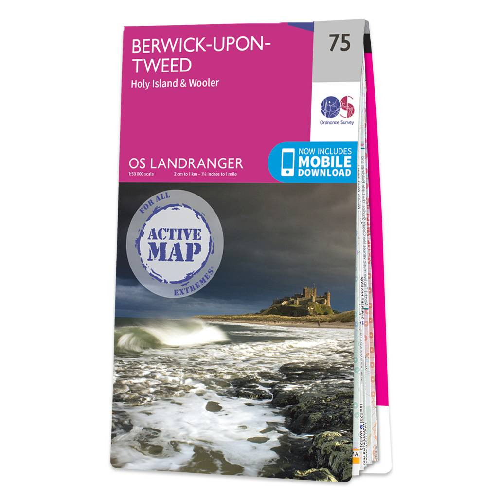
The Landranger map of Berwick-upon-Tweed including Holy Island and Wooler is a must-have for your next trip to the area.Located close to the Scottish border Berwick-upon-Tweed is the Northern-most town in England. There is an abundance of attractions and things to do. The vast expanse of surrounding Northumberland Countryside features rolling hills beaches historical landmarks and interesting museums.Holy Island and the Farne Island are situated off the coastline in the North Sea and the town of Wooler sits inland close to the Northumberland National Park. Our Landranger maps come in standard or Weatherproof Active you’ll also receive a free download for your devices — making for a convenient companion. Publication Date: 24/02/2016
£16.99


