
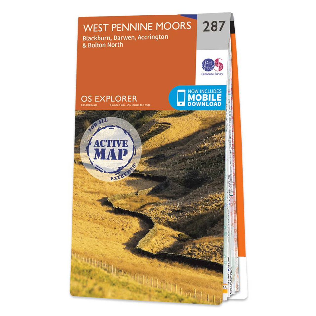
The OS Explorer map of West Pennine Moors including Blackburn Darwen Accrington and Bolton North. OS Explorer 287 covers an area to the west of the Pennines including a section of the Forset of Bowland — a dramatic peat moorland filled with deep valleys and barren gritstone fells. Other features of this map include Witton Weavers Way Rossendale Way and Ribble Way along with the towns of Blackburn Accrington and Darwen. Our OS Explorer maps are perfect for day-tripping extensive hikes and cycling. They come in both standard and Weatherproof Active so you’ll never get caught out in a storm. This map also comes with a free digital download so you can access it across your devices — making for a more convenient companion. Format: Folded map Physical Size: 952 x 1270 mm (133 x 240 mm folded) Standard Publication Date: 16/09/2015 Weatherproof Publication Date: 16/09/2015
£16.99


