
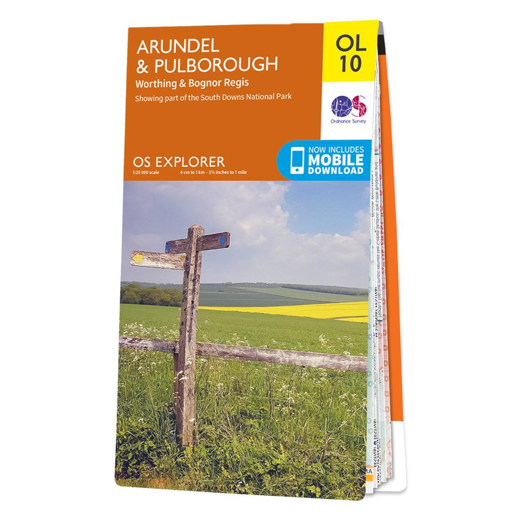
The OS Explorer map of Arundel & Pulborough including Worthing and Bognor Regis. Map sheet OL10 replaces OS Explorer 121 and is a must-have when visiting the area.This map covers the South Downs National Park the coastline between Bognor Regis and Worthing and the town of Arundel. Other stunning scenes to explore are the River Arun Monarch’s Way and part of the South Downs Way.Our OS Explorer maps are perfect for day-tripping extensive hikes and cycling. They come in both standard and Weatherproof Active so you’ll never get caught out in a storm. This map also comes with a free digital download so you can access it across your devices — making for a more convenient companion. Standard Publication Date: 17/05/2016 Weatherproof Publication Date: 13/06/2016
£12.99


